Teledyne announces the launch of a new geospatial group unifying its Optech and CARIS businesses
by CM Staff
This collaboration hopes to provide customers with a competitive edge in mapping and delivering data products inside of one complete workflow.
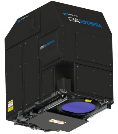
CZMIL SuperNova first solution from the newly formed Geospatial group
VAUGHAN — Teledyne announces the launch of a geospatial group with the unification of its Optech and CARIS businesses. The new Teledyne Geospatial group will offer solutions to map land and sea through the integration of LiDAR sensors combined with software workflows.
Teledyne Optech has been a manufacturer of advanced LiDAR instruments for a number of years.
This collaboration hopes to provide customers with a competitive edge in mapping and delivering data products inside of one complete workflow. Ease of collection and processing, through to final product, is purportedly enhanced with efficiency-driving AI algorithms and real time quality control. Ongoing collaborations with other Teledyne businesses will extend the geospatial capabilities even further.
The CZMIL SuperNova, the first product from Teledyne Geospatial, integrates Optech’s bathymetric LiDAR with CARIS’ comprehensive processing software providing a bathymetric LiDAR system.
Andy Hoggarth, Vice President, Sales and Marketing at Teledyne Geospatial explains: “Businesses today are increasingly expected to offer a more comprehensive suite of services. Bringing Optech and CARIS together allows us to leverage the world-leading expertise of both companies, ensuring customers can fully realize the competitive advantages provided by our ability to deliver holistic solutions for land and sea.”